Projections Part 1 Intro to GIS
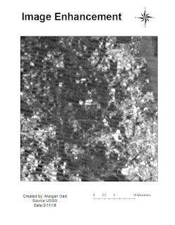
In this week's lab exercise we learned about different coordinate projections and how to choose the most appropriate one to display the area we want to highlight most accurately. We created three different maps with a table showing county comparison by area in square miles.


Comments
Post a Comment