Week 12 GeoReferencing GIS 4043
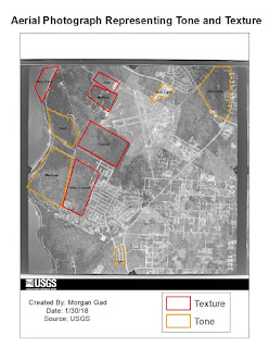
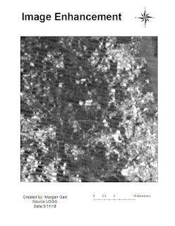
In week 12 Georeferencing it was a bit challenging at first to create control points that overall had a low RMS reading. But after an hour or so practicing it got easier. The second raster image that I needed to fit to the first one did end up a bit warped in the end but I had to move on due to time issues. Images from my original data frame disappeared and due to time constraints I have to just create a map from what I had left.


Comments
Post a Comment